Making Digital Maps
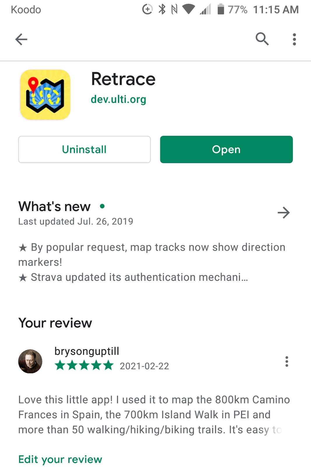
In my last Blog, I talked about how you could create a shareable trace of your walk/hike using an app called Retrace. I like Retrace because it's elegant and very simple to use. Most important, it's easy to share the gpx files you create. That's important if you want to make shareable maps.


So, if you have Retrace installed on your phone, let's make a map!
Start by opening Retrace, and tap "Record Track". Wait for Retrace to connect with a satellite - you can't do this standing in your house - you need to go outside! You'll know you're connected with the GPS satellite when the timer starts counting seconds (under Total Time). Start walking and check from time to time to make sure the track is still recording. You can carry your phone in your backpack or pocket - it will still be recording. It uses very little battery.
When you finish your walk, click the check mark (upper right corner). Then name your walk, and press the "file" button (bottom right corner). You're done - your trace has been saved!
Retrace will record the total time you walked, moving time, calories burned, etc. If you tap the map icon (middle of the screen) you will see the trace of your walk. If you have data turned on, the trace will be superimposed over a map (OpenStreetMap.org) of the area you just walked.
Here's what the map of a walk around my yard looks like.
Now, let's make a shareable map!
I use OpenStreetMap, because it's the most popular sharable map of the world. It's also the base map we use for all our trails in PEI. If you want to make maps, you'll need to join OpenStreetMap (it's free) - there are more than 6 million active members!
Once you open OpenStreetMap, drill down to your area in order to start mapping. I live in Charlottetown - here's what the map looks like.
Click on the "GPS Traces" button, and then, "Upload a Trace". You will be prompted to "Upload a GPX file". This will be the file you created with Retrace.
The easiest way to get the GPX file is to go to the share button on Retrace and export the GPX file to yourself. Then download the file to your phone or to your computer. Once it's in your phone or computer you can upload it to OpenStreetMap (it will usually be stored in the "downloads" file on your phone or computer).
Once you've uploaded the trace (the purple line below) to OpenStreetMap, you can create a map by tracking and clicking over your trace with your mouse. I usually use the "iD editor" to draw my map because it's easy and very intuitive. There are other mapping tools as well which are more powerful but they also take longer to figure out.
Click on the "save" button, and your map is ready to be seen by the world! There are some other tricks to sort out, like how to join map segments and how to create long trails called "relations". We'll get into that next time!


Comments
Post a Comment