Posts

Island Walkers Starting in May

Image
While Islanders will be watching fishermen set their lobster traps this May, there will be new activity to see along PEI's coastline.  From Charlottetown to Miminegash, Seacow Pond to Gaspereaux, Islanders will be encountering hikers (and cyclists) on red dirt roads, secondary roads and the Confederation Trail.  These long-distance trail enthusiasts will be completing some, or perhaps all of the 700 km Island Walk.  This will be the first full year for the Island Walk which was created in 2019 and is now open to people who do not live on PEI.  Only 25 people have completed the whole trail to date, but thanks to a flurry of articles in the Globe and Mail, National Geographic, Travel + Leisure magazine and others, many more are planning to visit the Island starting in May, 2022.   v North Lake, PE. Photo by Val Faye Shaffer Island Bed and Breakfasts and other accommodations are getting ready for this new and growing interest group who have been cooped up and are ready for

Let the Walking Begin!

Image
After months of thinking, designing, and coordinating, directional signs for the Island Walk are now popping up all over the Island. The signs are being installed by highway crews from the PEI Department of Transportation and they conform all with all applicable signage laws and regulations.  In addition to the highway signs, signs are being installed on the Confederation Trail by crews employed by Tourism PEI. These signs are different from the highway signs (they are smaller), but most people won't notice.  They are pieces of art and Island Trails has been getting rave reviews for its work. More importantly, walkers are finding them informative and comforting. That's the best news we can get - happy hikers not getting lost! Social media has been posted, presentations have been made, and the magic begins - people are beginning to walk (and bike) on the Confederation Trail, on red dirt roads, on boardwalks, and along secondary roads all around PEI.   As this

Making Digital Maps

Image
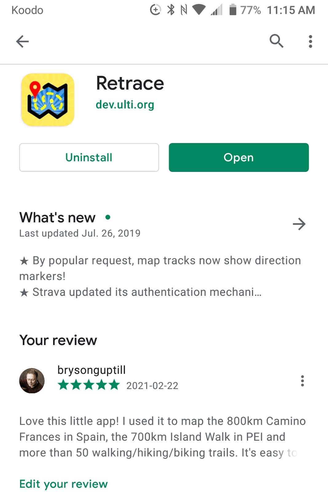
In my last Blog, I talked about how you could create a shareable trace of your walk/hike using an app called Retrace.  I like Retrace because it's elegant and very simple to use.  Most important, it's easy to share the gpx files you create. That's important if you want to make shareable maps. So, if you have Retrace installed on your phone, let's make a map!   Start by opening Retrace, and tap "Record Track". Wait for Retrace to connect with a satellite - you can't do this standing in your house - you need to go outside!  You'll know you're connected with the GPS satellite when the timer starts counting seconds (under Total Time). Start walking and check from time to time to make sure the track is still recording. You can carry your phone in your backpack or pocket - it will still be recording. It uses very little battery.  When you finish your walk, click the check mark (upper right corner).  Then name your walk, and press the "fi

Making maps with Retrace

Image
I love little surprises, especially when it comes to making maps!   I've been fascinated with making good maps since we walked the Camino de Santiago in 2016. Maps of the Camino route in the most popular English-language guidebook are hand drawn, not to scale and very confusing. The whole idea of a map is to keep you from getting lost, but these maps do just the opposite.  I decided to write my own guidebook and put the emphasis on clear, concise maps that showed north where it's supposed to be - at the top of the page! Of course, to do that in today's world meant I had to use the GPS on my phone.  I had a BlackBerry back then and I downloaded a GPS app called Retrace.  It only worked on BlackBerries, but it worked well. Then, half way through the Camino, the GPS server went down. I had already traced 400km and I didn't want to lose more than two weeks of work. In desperation, I emailed the developer and  asked what was wrong. To my shock and amazement, I ac

Hostels on the Island Walk

Image
2020 was a tough year for the Tourism industry in PEI and virtually everywhere else in Canada as well. The province was essentially locked down in March, April and May as a result of CoVid-19. The number of visitors needing overnight accommodations picked up a little in June and again in July as a result of Islanders visiting unfamiliar parts of the province. By August, visitors were taking advantage of the Atlantic bubble and our excellent summer weather. As a result, overnight stays nearly doubled in August from July but were still down 40% from 2019.  Island Trails decided not to promote the Island Walk this year but focused instead on building and fine tuning our new Island Walk website.  Linda Lowther, our lead consultant on the project, chaired several Zoom meetings with her excellent team.  Kate Westphal, one of the team members, developed a beautiful logo for the Walk, and Heather Ogg, another team member, assembled some amazing photos which are now featured on the website. She

A Stroll Along Cavendish Beach to MacKenzie's Brook

Image
When we walked the Island Walk in October we were especially excited about walking along the shore in the PEI National Park.   Looking west along the deserted Cavendish Beach Our official route stayed on the main road, but our preference would have been to detour into Cavendish Grove at 2.17 km (right across the road from the entrance to Avonlea Village).  We didn't walk through Cavendish Grove then because there were still a lot of trees down from post-tropical storm Dorian. However, walking through this grove of Maple trees and out to the beach is more interesting than walking along the road.  I decided to give it a try. My 11 km walk along the beach, which included returning to the parking area at Cavendish Grove. Turn left into Cavendish Grove right across from Avonlea Village.     The entrance to Cavendish Grove is next to the parking lot at the site of the old Rainbow Valley amusement park.  Parks Canada re-purposed the amusement park, removed the rides, and focused on more n

A Beach Walk to East Point

Image
When we completed our Island Walk in October, 2019, one of our favorite walks was our beach walk to East Point, PEI along the Northside beach.  Beach walks are always special - sand dunes, marram grass, and ocean waves crashing at your feet. The Northside beach is especially attractive because it leads to the lighthouse on the far eastern tip of PEI, and it doesn't get much attention from Islanders or visitors when they are here in the summer.  Here's what the route looks like: https://retrace.mobi/v/jfe36348 This lack of attention may be due in part to the remote location of the beach, but it's also because the beach isn't easy to access.  All beaches on PEI are open to the public, but that doesn't mean they are easy to get to.  Northside beach runs from North Lake to East Point - about 8 km.  However, there are several headlands between North Lake and the East Lake run that make walking along the beach at high tide a bit of a challenge.  From East Lake run to East